Get Involved
Make a Donation
Disaster Management & Climate Change Adaptation
Bangladesh is one of the largest deltas in the world which is highly vulnerable to Natural Disasters because of its Geographical location. The adverse effects of Climate Change- especially High Temperature, Sea-level Rise, Cyclones and Storm Surges, Salinity Intrusion, Heavy Monsoon Downpours etc. have aggravated the overall countries Economic Development. Although Bangladesh emits less than 0.1% of global greenhouse gas emissions (compared to 24% for the United States), it is nevertheless taking steps to reduce its future emissions through the development of renewable energy and the use of (relatively clean) natural gas.
Bangladesh has been repeatedly listed as being among the most vulnerable countries to climate change around the globe. (Source: Maplecroft, 2015, 'Climate change vulnerability index 2014')
About 88% of the landmass of Bangladesh consists of flood plains that sit in the world’s largest delta, which makes the country predominantly flat and low-lying. Most of its areas are less than 10m above sea level – with most of the coastal belt being less than 2m above sea level. The key climate change impacts projected to affect the country are: variations in air and ocean temperatures; changes in precipitation patterns; intensification of extreme weather phenomena, such as cyclones, and sea level rise.
Total fertility rate (per woman of 15-49 years): Total 2.10, Rural 2.30, Urban 1.72 Contraceptive prevalence rate (%): 62.1 (SVRS 2015)
The mean annual temperature increases for the South Asian region, between 1990 and 2100, is projected to be around 4.8°C under a high emissions scenario (CMIP5 for RCP8.5)5 and 1.4°C if emissions decrease rapidly (RCP2.6). These projections are in line with an observed trend of temperature increases at the Bangladesh national level. Between 1948 and 2008, the minimum temperatures observed in winter (DJF) and in the monsoon season (JJA) rose by 0.45˚C and 0.52˚C respectively. During the same period, the maximum temperatures of the pre-monsoon season (MAM) increased by 0.87 ˚C and that of the post-monsoon (JJA) season by 0.42˚C7
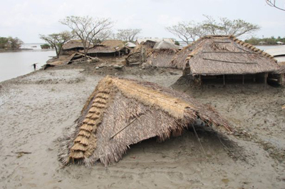
The moderately drought-affected areas will become severely drought-prone areas within the next 20-30 years. The longest dry spell could increase from about 70 days in 1990 to about 85 days on average in 2100, suggesting a greater persistence of droughts, with continuing large year-to-year variability. Floods are a similarly common phenomenon affecting around 25% of the country, especially low-lying regions, such as the coastal belt and some low-lying parts of North and Northwest, Northeast and Centre. A severe flood, inundating around 60% of Bangladesh’s land area, hits the country every 4-5 years. Studies have shown that increased monsoon rainfall may lead to more frequent occurrence of high-intensity floods over the flood plains, with their duration being significantly prolonged, and inundation areas and depth increased.
Several studies have shown an increase and intensification of extreme weather events. Climate change projections suggest that the Bay of Bengal will be affected by more intense cyclones which can lead to devastating impacts on coastal communities dependent on agriculture and fisheries.The fisheries sector contributes about 3.5% of the GDP in Bangladesh and people depend on fish products in order to meet up majority of their daily protein requirements. There are around 260 species of fish in the country and almost all the varieties are sensitive to specific salt and freshwater conditions.Bangladesh has got a wide diversity of Ecosystems including Mangrove forests at the extreme south of the country. The “Sundarbans” a World Heritage, is the largest Mangrove Forest in the world, comprising 577, 00 ha of land area along the Bay of Bengal. A total of 425 species have been identified there, the most significant is the famous Royal Bengal Tiger. Therefore, Climate Change impacts will have negative effects on the Ecosystem of the Forest recourses in Bangladesh while the Sundarbans is likely to suffer the most.
An increased overall mean sea level exacerbates impacts of extreme tides and tidal surges leading to inundations of coastal areas with saltwater. A study by the Climate Change Cell (CCC) of Bangladesh’s Ministry of Environment, Forestry and Climate Change, found that the sea level rise in the coastal zone of Bangladesh has been 6-21 mm per year. The water level in the Ganges tidal floodplain was found to raise by 7-8 mm/year, in the Meghna Estuarine by 6-10 mm/ year and in the Chittagong coastal plain areas by 11-21 mm per year. Thus, the sea in the Bay of Bengal is rising faster than the global average. Bangladesh could experience a sea level rise of 14 cm, 32 cm and 88 cm by 2030, 2050 and 2100 respectively. Sea level rise leads to significant impacts on the agricultural productivity and fresh water availability of communities living in the coastal belt.With the rise of Sea-level up to one meter only, Bangladesh could lose up to 15% of its land area under the Sea water and around 30 million people living in the coastal areas of Bangladesh could become Refugees because of Climate Change impacts. Agriculture, Industry, Infrastructure (School, Hospitals, Roads, Bridges and Culverts etc.), Livelihoods, Marine Resources, Forestry, Biodiversity, Human Health and other Utility services will suffer severely because of the same. An investigation, undertaken on behalf of the World Bank, predicted changes in river salinity across the coastal areas of Bangladesh for the year 2050 for two different IPCC scenarios (A2 and B1) using the 2012 salinity data as the baseline. The results show that due to sea level rise and other climatic conditions, salinity will move further inland.
The study also indicates that the total salinity intrusion affected area (from 5ppt to 10 ppt) will be increased to 68% by 2050. During winter, from December to February, sometimes the north wind can bring cold temperatures at night, around 3/6 °C (37/43 °F) in the north, and around 10 °C (50 °F) in the centre-south and in Dhaka.
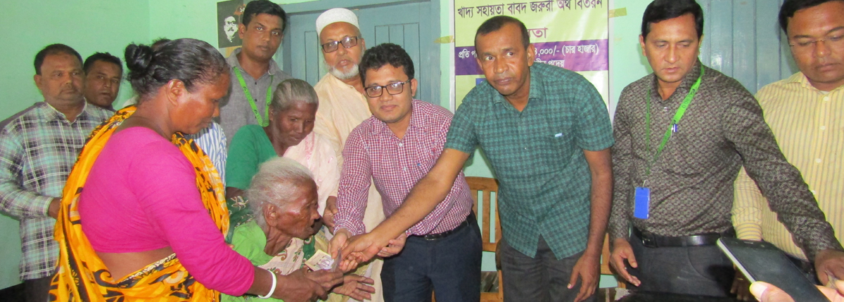
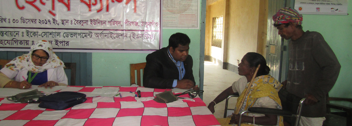
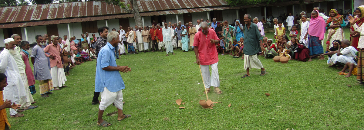
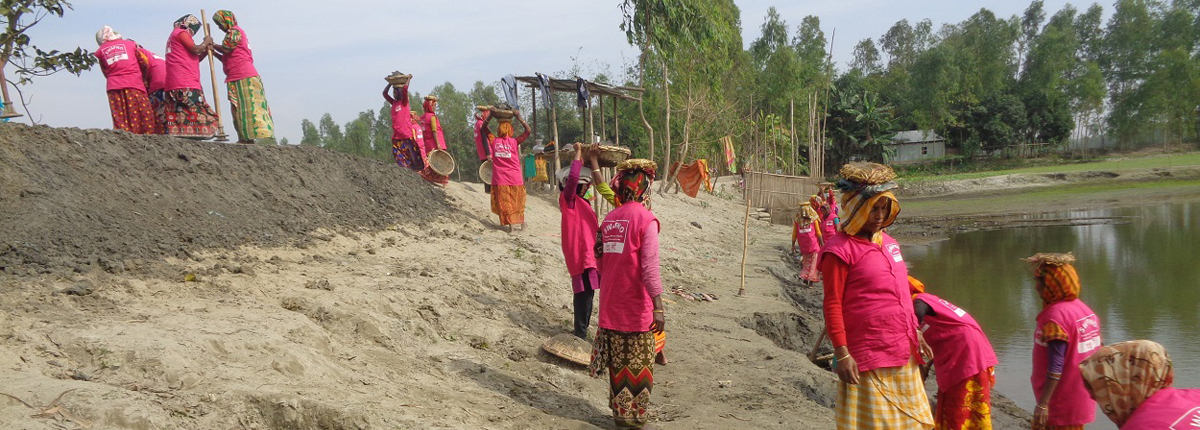
ESDO is trying to contribute and mitigate the impact of disaster through 53 different projects all over the Bangladesh with the funding of UNDP, UNFP, WSUP, Water AID, Plan International- Bangladesh, Care- Bangladesh, Japan Embassy, Save the Children etc. But this is not enough. We need more fund to absorb with the climate change affect.
How to Donate
Bank Name: Agrani Bank Limited
Account Name: Eco-Social Development Organization (ESDO)
Account Number: 0200001304136
Bank Address: Thakurgaon Branch, Thakurgaon, Bangladesh
Bank SWIFT Code: AGBKBDDH
Bank Code: 2921
Routing Instructions for Disbursements: 010940976
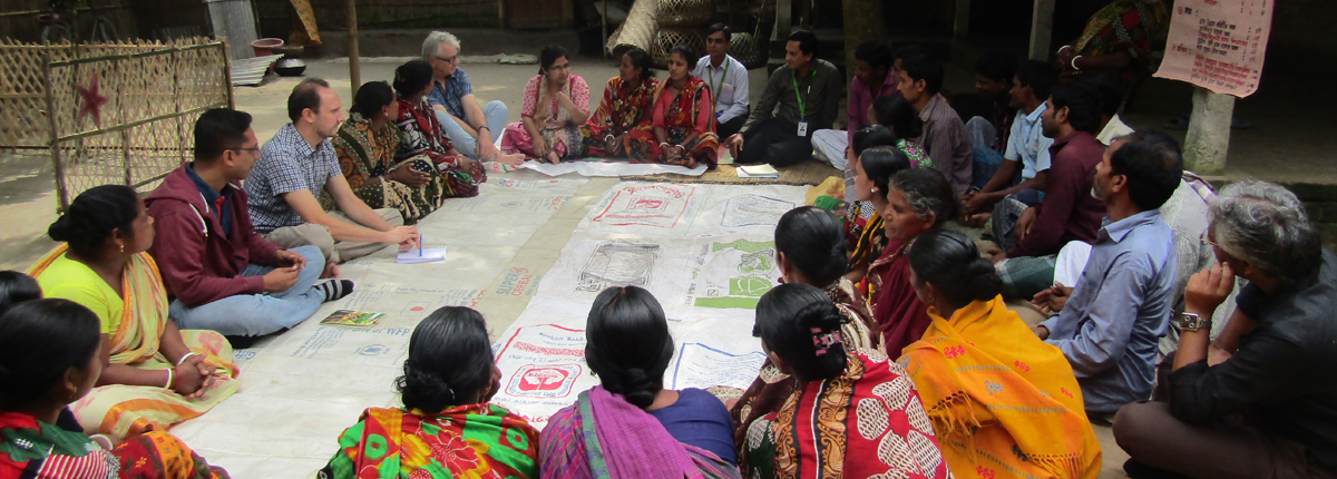
ESDO is one of the most dynamic organizations expanding its development interventions across 236 upazilas under 36 districts of Bangladesh covering over 7.87 million poor and vulnerable people.